
Ymele:USA Pennsylvania location map.svg

Size of this PNG preview of this SVG file: 800 be 536 dotta. Oðra metinga brædo: 320 be 214 dotta | 640 be 429 dotta | 1,024 be 686 dotta | 1,280 be 858 dotta | 2,560 be 1,716 dotta | 1,201 be 805 dotta.
Frumlicu ymele (SVG ymele, rihte 1,201 × 805 pixela, ymelan micelness: 146 KB)
Scortness
| Towritenness |
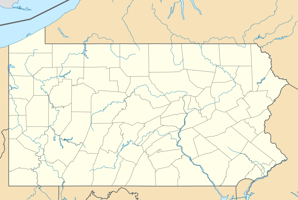
Quadratische Plattkarte, N-S-Streckung 130.0 %. Geographische Begrenzung der Karte:
Equirectangular projection, N/S stretching 130.0 %. Geographic limits of the map:
|
||
| Tælmearc | |||
| Fruma | Agen weorc | ||
| Dædfruma | Alexrk2 | ||
| Other versions |
Derivative works of this file: |
||
| SVG genesis |
|

Leaf:
I, the copyright holder of this work, hereby publish it under the following licenses:

|
Permission is granted to copy, distribute and/or modify this document under the terms of the GNU Free Documentation License, Version 1.2 or any later version published by the Free Software Foundation; with no Invariant Sections, no Front-Cover Texts, and no Back-Cover Texts. A copy of the license is included in the section entitled GNU Free Documentation License. |
This file is licensed under the Creative Commons Attribution 3.0 Unported license.
- Þu most:
- bryttian – to copy, distribute and transmit the work
- to remix – andwendan þæt weorc
- Under the following conditions:
- hlígung – You must give appropriate credit, provide a link to the license, and indicate if changes were made. You may do so in any reasonable manner, but not in any way that suggests the licensor endorses you or your use.
Þu most ceosan leafe
Ymelan stær
Swing dæg/tide mid mys to seonne þa ymelan swa heo wæs on þære tide geywed.
| Dæg/Tid | Metungincel | Micelnesse gemetu | Brucend | Ymbspræc | |
|---|---|---|---|---|---|
| nu | 23:51, 9 Hreðmonað 2019 | | 1,201 × 805 (146 KB) | AndreyKva | Optimized. |
| 11:11, 5 Mædmonað 2009 |  | 1,201 × 805 (420 KB) | Alexrk2 | == Beschreibung == {{Information |Description= {{de|Positionskarte von Pennsylvania, USA}} Quadratische Plattkarte, N-S-Streckung 130.0 %. Geographische Begrenzung der Karte: * N: 42.7° N * S: 39.5° N * W: 80.7° W * O: |
Biliþbendas
Þǣr sind nāne trametas þe bindaþ tō þissum biliðe.
Ymelan eormen nytt
Þas wiki brucaþ þissa ymelena:
- Nytt on an.wikipedia.org
- Nytt on ar.wikipedia.org
- Nytt on ast.wikipedia.org
- Nytt on azb.wikipedia.org
- آلتونا، پنسیلوانیا
- فارل، پنسیلوانیا
- واکسال، پنسیلوانیا
- سیلکورس، پنسیلوانیا
- استونراستون، پنسیلوانیا
- مکینزبرق، پنسیلوانیا
- رولاک، پنسیلوانیا
- ماشنون، پنسیلوانیا
- مسیاح کالج، پنسیلوانیا
- وست فیرویو، پنسیلوانیا
- وینهایتس، پنسیلوانیا
- بلویل، پنسیلوانیا
- نئومی، پنسیلوانیا
- سینت مایکل، پنسیلوانیا
- قلن لیون، پنسیلوانیا
- سنتمایکل سیدمن، پنسیلوانیا
- آپر اکستر، پنسیلوانیا
- شیپینزبرق یونیورسیتی، پنسیلوانیا
- لاول-لوکاستدیل، پنسیلوانیا
- الیم، پنسیلوانیا
- استونیبروک ویلشایر، پنسیلوانیا
- اوک هیلز، پنسیلوانیا
- لمونت فرنس، پنسیلوانیا
- هاملز وارف، پنسیلوانیا
- آیولا، پنسیلوانیا
- کریمر، پنسیلوانیا
- ویدویل، پنسیلوانیا
- مانت ایقل، پنسیلوانیا
- ماریون، پنسیلوانیا
- سندهیل، پنسیلوانیا
- ایست برویک، پنسیلوانیا
- لیک وینونا، پنسیلوانیا
- سیدمن، پنسیلوانیا
- لاتیمر، پنسیلوانیا
- لایت استریت، پنسیلوانیا
- ایست واترفورد، پنسیلوانیا
- مککانلزتاون، پنسیلوانیا
- سالیکس، پنسیلوانیا
View more global usage of this file.