
Ymele:Shetland UK relief location map.jpg

Micelness þisre forebysene: 315 be 599 dotta. Oðra metinga brædo: 126 be 240 dotta | 252 be 480 dotta | 404 be 768 dotta | 538 be 1,024 dotta | 1,999 be 3,802 dotta.
Frumlicu ymele (1,999 × 3,802 pixela, ymelan micelness: 505 KB, MIME cynn: image/jpeg)
| Towritenness |
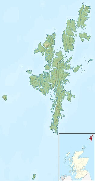
Relief map of the Shetland Islands, UK. Equirectangular map projection on WGS 84 datum, with N/S stretched 200% Geographic limits:
|
| Tælmearc | |
| Fruma |
|
| Dædfruma | Nilfanion, created using Ordnance Survey data |
| Leaf (Eftnytt þisse ymelan) |
This file is licensed under the Creative Commons Attribution-Share Alike 3.0 Unported license. Hligung: Contains Ordnance Survey data © Crown copyright and database right
|
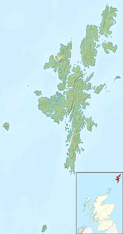
| Other versions | File:Shetland UK blank map.svg - Blank map |
Ymelan stær
Swing dæg/tide mid mys to seonne þa ymelan swa heo wæs on þære tide geywed.
| Dæg/Tid | Metungincel | Micelnesse gemetu | Brucend | Ymbspræc | |
|---|---|---|---|---|---|
| nu | 12:29, 30 Blotmonað 2011 | | 1,999 × 3,802 (505 KB) | Nilfanion | {{Information |Description=Relief map of the Shetland Islands, UK. Equirectangular map projection on WGS 84 datum, with N/S stretched 200% Geographic limits: *West: 2.15W *East: 0.70W *North: 60.88N *South: 59.50N |Source=[[w:Ordn |
Biliþbendas
Þǣr sind nāne trametas þe bindaþ tō þissum biliðe.
Ymelan eormen nytt
Þas wiki brucaþ þissa ymelena:
- Nytt on ar.wikipedia.org
- Nytt on ast.wikipedia.org
- Nytt on bg.wikipedia.org
- Nytt on ca.wikipedia.org
- Nytt on ceb.wikipedia.org
- Nytt on da.wikipedia.org
- Nytt on de.wikipedia.org
- Nytt on de.wikivoyage.org
- Nytt on en.wikipedia.org
View more global usage of this file.