
Ymele:Norway Counties Møre og Romsdal Position.svg

Size of this PNG preview of this SVG file: 562 be 600 dotta. Oðra metinga brædo: 225 be 240 dotta | 450 be 480 dotta | 719 be 768 dotta | 959 be 1,024 dotta | 1,918 be 2,048 dotta | 740 be 790 dotta.
Frumlicu ymele (SVG ymele, rihte 740 × 790 pixela, ymelan micelness: 54 KB)
Scortness
| Towritenness |
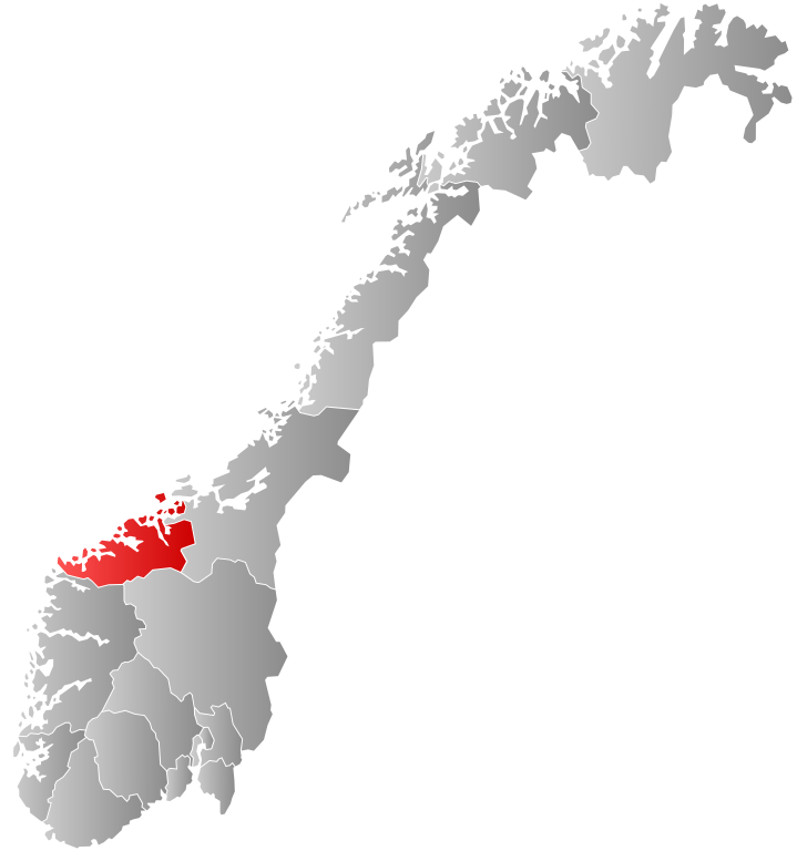
English: Re-upload of User:Marmelad's Møre og Romsdal map so that it can be used in templates on Møre og Romsdal, Kristiansund, etc. |
| Tælmearc | 23 Eastermonað 2009 (original upload date) |
| Fruma | Transferred from en.wikipedia to Commons. |
| Dædfruma | SteveJothen at English Ƿikipǣdia |
Leaf:
SteveJothen at English Ƿikipǣdia, the copyright holder of this work, hereby publishes it under the following license:
This file is licensed under the Creative Commons Attribution-Share Alike 3.0 Unported license.
Hligung: SteveJothen at English Ƿikipǣdia
- Þu most:
- bryttian – to copy, distribute and transmit the work
- to remix – andwendan þæt weorc
- Under the following conditions:
- hlígung – You must give appropriate credit, provide a link to the license, and indicate if changes were made. You may do so in any reasonable manner, but not in any way that suggests the licensor endorses you or your use.
- Efenlice bryttiendlic – Gif þu andwende þis weorc to ohte, þu scleat bryttian þæt andwendede weorc synderlice mid þære ilcan oþþe gelicre leafe swilcre þis brycþ.
Original upload log
The original description page was here. All following user names refer to en.wikipedia.
- 2009-04-23 15:18 SteveJothen 512×512× (82413 bytes) Re-upload of [[User:Marmelad]]'s Møre og Romsdal map so that it can be used in templates on [[Møre og Romsdal]], [[Kristiansund]], etc.
Ymelan stær
Swing dæg/tide mid mys to seonne þa ymelan swa heo wæs on þære tide geywed.
| Dæg/Tid | Metungincel | Micelnesse gemetu | Brucend | Ymbspræc | |
|---|---|---|---|---|---|
| nu | 00:47, 2 Se Æfterra Gēola 2024 | | 740 × 790 (54 KB) | Jay1279 | update county borders for 2024 |
| 22:41, 1 Se Æfterra Gēola 2020 |  | 740 × 790 (51 KB) | Bjarkan | Border update for 2020. | |
| 08:26, 27 Se Æfterra Gēola 2019 |  | 740 × 790 (67 KB) | Bjarkan | Border update (Rindal). | |
| 03:05, 17 Gēolmōnaþ 2017 |  | 740 × 790 (67 KB) | Bjarkan | Improved version. | |
| 23:46, 12 Eastermonað 2013 |  | 562 × 600 (77 KB) | Jay1279 | Re-upload the updated File:Norway Counties MøreogRomsdal Position.svg by User:Fleinn. Original filename does not work with Template:Infobox kommune, so this filename must be used. | |
| 22:57, 3 Se Æfterra Gēola 2013 |  | 512 × 512 (80 KB) | Choihei | {{Information |Description={{en|Re-upload of en:User:Marmelad's Møre og Romsdal map so that it can be used in templates on en:Møre og Romsdal, en:Kristiansund, etc.}} |Source=Transferred from [http://en.wikipedia.org en.wikipedia] |... |
Biliþbendas
Þā folgendan trametas bindaþ tō þissum biliðe:
Ymelan eormen nytt
Þas wiki brucaþ þissa ymelena:
- Nytt on af.wikipedia.org
- Nytt on ast.wikipedia.org
- Nytt on azb.wikipedia.org
- Nytt on bat-smg.wikipedia.org
- Nytt on bpy.wikipedia.org
- Nytt on br.wikipedia.org
- Nytt on bs.wikipedia.org
- Nytt on da.wikipedia.org
- Nytt on de.wikipedia.org
- Nytt on en.wikipedia.org
- Kristiansund
- Molde
- Sunndal
- Surnadal
- Halsa
- Tustna
- Smøla
- Vanylven
- Sande, Møre og Romsdal
- Herøy, Møre og Romsdal
- Ulstein
- Hareid
- Volda
- Ørsta
- Ørskog
- Norddal
- Stranda
- Stordal
- Sykkylven
- Skodje
- Giske
- Haram, Norway
- Vestnes
- Rauma, Norway
- Nesset
- Midsund
- Sandøy
- Aukra
- Fræna
- Eide
- Averøy
- Frei
- Gjemnes
- Tingvoll
- Aure, Norway
- Sula, Møre og Romsdal
- Tresfjord
- Dalsfjord, Møre og Romsdal
- Voll, Møre og Romsdal
- Eid, Møre og Romsdal
- Hen, Møre og Romsdal
View more global usage of this file.