
Ymele:Carte du Québec au sein du Canada.svg

Size of this PNG preview of this SVG file: 707 be 600 dotta. Oðra metinga brædo: 283 be 240 dotta | 566 be 480 dotta | 905 be 768 dotta | 1,207 be 1,024 dotta | 2,414 be 2,048 dotta | 1,083 be 919 dotta.
Frumlicu ymele (SVG ymele, rihte 1,083 × 919 pixela, ymelan micelness: 80 KB)
Scortness
| Towritenness | |
| Tælmearc | (UTC) |
| Fruma |
Agen weorc. Source :
|
| Dædfruma | Sémhur (talk) |
| Other versions |
Derivative works of this file: |
| SVG genesis | |
| Hligung (required by the license) | © Sémhur / Wikimedia Commons / |
.svg)
| Camera location | | View this and other nearby images on: OpenStreetMap |
|---|
Leaf:
I, the copyright holder of this work, hereby publish it under the following licenses:
| Copyleft: This work of art is free; you can redistribute it and/or modify it according to terms of the Free Art License. You will find a specimen of this license on the Copyleft Attitude site as well as on other sites. |
This file is licensed under the Creative Commons Attribution-Share Alike 4.0 International, 3.0 Unported, 2.5 Generic, 2.0 Generic and 1.0 Generic license.
- Þu most:
- bryttian – to copy, distribute and transmit the work
- to remix – andwendan þæt weorc
- Under the following conditions:
- hlígung – You must give appropriate credit, provide a link to the license, and indicate if changes were made. You may do so in any reasonable manner, but not in any way that suggests the licensor endorses you or your use.
- Efenlice bryttiendlic – Gif þu andwende þis weorc to ohte, þu scleat bryttian þæt andwendede weorc synderlice mid þære ilcan oþþe gelicre leafe swilcre þis brycþ.
Þu most ceosan leafe
Ymelan stær
Swing dæg/tide mid mys to seonne þa ymelan swa heo wæs on þære tide geywed.
| Dæg/Tid | Metungincel | Micelnesse gemetu | Brucend | Ymbspræc | |
|---|---|---|---|---|---|
| nu | 17:09, 7 Gēolmōnaþ 2014 | | 1,083 × 919 (80 KB) | Sémhur | Valid SVG |
| 14:56, 8 Gēolmōnaþ 2011 |  | 1,083 × 919 (80 KB) | Riba | Minor corrections of colors. | |
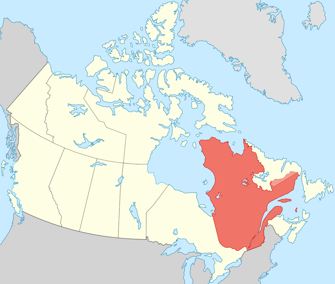
| 19:51, 27 Haligmonað 2011 |  | 1,083 × 919 (75 KB) | Sémhur | == {{int:filedesc}} == {{Information |Description={{Multilingual description |en= Blank map showing en:Québec in Canada, in red, with the disputed area between Quebec and Labrador, in pink. |fr= Carte montrant le fr:Québec au sein du Canada, |
Biliþbendas
Þā folgendan trametas bindaþ tō þissum biliðe:
Ymelan eormen nytt
Þas wiki brucaþ þissa ymelena:
- Nytt on af.wikipedia.org
- Nytt on arc.wikipedia.org
- Nytt on bat-smg.wikipedia.org
- Nytt on br.wikipedia.org
- Nytt on co.wikipedia.org
- Nytt on cr.wikipedia.org
- Nytt on el.wikipedia.org
- Nytt on el.wikivoyage.org
- Nytt on eo.wikipedia.org
- Nytt on eo.wikinews.org
- Nytt on es.wikipedia.org
- Nytt on et.wikipedia.org
- Nytt on fiu-vro.wikipedia.org
- Nytt on fo.wikipedia.org
- Nytt on fr.wikipedia.org
- Nytt on gag.wikipedia.org
- Nytt on gl.wikipedia.org
- Nytt on gv.wikipedia.org
- Nytt on hak.wikipedia.org
- Nytt on ha.wikipedia.org
- Nytt on hy.wikipedia.org
- Nytt on incubator.wikimedia.org
- Nytt on it.wikivoyage.org
- Nytt on ja.wikipedia.org
- Nytt on ka.wikipedia.org
- Nytt on kw.wikipedia.org
- Nytt on lb.wikipedia.org
- Nytt on lv.wikipedia.org
- Nytt on mi.wikipedia.org
- Nytt on nds-nl.wikipedia.org
- Nytt on no.wikipedia.org
- Nytt on nrm.wikipedia.org
- Nytt on pap.wikipedia.org
- Nytt on pa.wikipedia.org
- Nytt on pcd.wikipedia.org
- Nytt on pl.wikipedia.org
- Nytt on pt.wikipedia.org
- Nytt on qu.wikipedia.org
- Nytt on ro.wikipedia.org
- Nytt on ru.wiktionary.org
- Nytt on sco.wikipedia.org
- Nytt on sl.wikipedia.org
- Nytt on sr.wikipedia.org
View more global usage of this file.