
Ymele:Bird-Island.PNG

Micelness þisre forebysene: 800 be 562 dotta. Oðra metinga brædo: 320 be 225 dotta | 640 be 449 dotta | 1,024 be 719 dotta | 1,280 be 899 dotta | 2,546 be 1,788 dotta.
Frumlicu ymele (2,546 × 1,788 pixela, ymelan micelness: 135 KB, MIME cynn: image/png)
Scortness
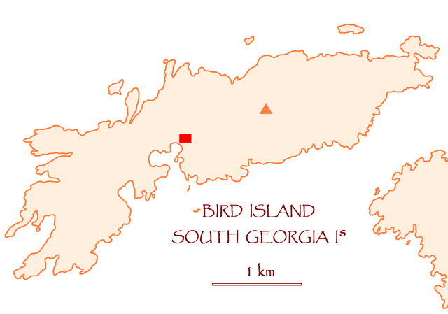
| Towritenness | Map of Bird Island, South Georgia Islands |
| Tælmearc | |
| Fruma | Agen weorc |
| Dædfruma | Apcbg |
Leaf:
| I, the copyright holder of this work, release this work into the public domain. This applies worldwide. In some countries this may not be legally possible; if so: I grant anyone the right to use this work for any purpose, without any conditions, unless such conditions are required by law. |
Ymelan stær
Swing dæg/tide mid mys to seonne þa ymelan swa heo wæs on þære tide geywed.
| Dæg/Tid | Metungincel | Micelnesse gemetu | Brucend | Ymbspræc | |
|---|---|---|---|---|---|
| nu | 09:56, 17 Winterfylleð 2007 | | 2,546 × 1,788 (135 KB) | Apcbg | == Summary == {{Information |Description=Map of Bird Island, South Georgia Islands |Source=self-made |Date=17 October 2007 |Author= Apcbg }} == Licensing == {{PD-self}} |
| 09:28, 17 Winterfylleð 2007 |  | 2,546 × 1,788 (135 KB) | Apcbg | == Summary == {{Information |Description=Map of Bird Island, South Georgia Islands |Source=self-made |Date=17 October 2007 |Author= Apcbg }} == Licensing == {{PD-self}} |
Biliþbendas
Þā folgendan trametas bindaþ tō þissum biliðe:
Ymelan eormen nytt
Þas wiki brucaþ þissa ymelena:
- Nytt on ast.wikipedia.org
- Nytt on ca.wikipedia.org
- Nytt on de.wikipedia.org
- Nytt on en.wikipedia.org
- Nytt on eo.wikipedia.org
- Nytt on es.wikipedia.org
- Nytt on fa.wikipedia.org
- Nytt on fr.wikipedia.org
- Nytt on it.wikipedia.org
- Nytt on ja.wikipedia.org
- Nytt on ko.wikipedia.org
- Nytt on nl.wikipedia.org
- Nytt on nn.wikipedia.org
- Nytt on no.wikipedia.org
- Nytt on pl.wikipedia.org
- Nytt on uk.wikipedia.org
- Nytt on zh.wikipedia.org