
Ymele:Karte Karibik Inseln.png

Frumlicu ymele (1,024 × 636 pixela, ymelan micelness: 17 KB, MIME cynn: image/png)
Scortness
| Towritenness |
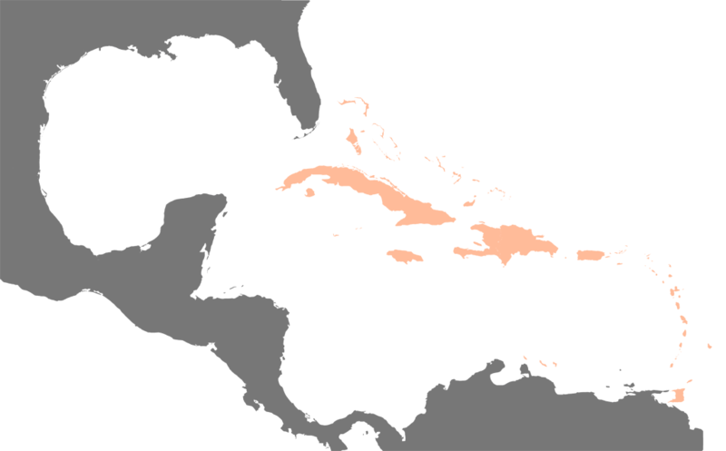
Deutsch: Die Inseln der Karibik - Basisgrafik für die weiteren Karten mit hervorgehobenen Inseln pro Staat/abhängiges Gebiet. |
|||||||||||||||||
| Tælmearc | ||||||||||||||||||
| Fruma | first upload in de wikipedia on 17:44, 18. Feb 2004 by Raymond | |||||||||||||||||
| Dædfruma |
|
|||||||||||||||||
| Other versions |
|
|||||||||||||||||
| Hligung (required by the license) | © Raimond Spekking / | |||||||||||||||||


.png)


Leaf:
I have published this image as author under the Creative-Commons-Licence CC BY-SA 4.0.. This means that free online usage outside of Wikimedia projects under the following terms of licence is possible:
- The image is credited with "© Raimond Spekking / CC BY-SA 4.0 (via Wikimedia Commons)"
For all other kind of usages (books, journales, flyers, etc.) click on the following button. You will get all information needed.
I would be happy to receive a specimen copy or the URL of the website where the image is used.
Please write an email to raimond.spekking@gmail.com (GPG encrypted emails are welcome: Key-ID: 0xB12BE7A6), if you
- need the image in a higher resolution
- need my postal address for sending a specimen copy
- have further questions to the terms of licence
- Þu most:
- bryttian – to copy, distribute and transmit the work
- to remix – andwendan þæt weorc
- Under the following conditions:
- hlígung – You must give appropriate credit, provide a link to the license, and indicate if changes were made. You may do so in any reasonable manner, but not in any way that suggests the licensor endorses you or your use.
- Efenlice bryttiendlic – Gif þu andwende þis weorc to ohte, þu scleat bryttian þæt andwendede weorc synderlice mid þære ilcan oþþe gelicre leafe swilcre þis brycþ.
Ymelan stær
Swing dæg/tide mid mys to seonne þa ymelan swa heo wæs on þære tide geywed.
| Dæg/Tid | Metungincel | Micelnesse gemetu | Brucend | Ymbspræc | |
|---|---|---|---|---|---|
| nu | 22:04, 9 Eastermonað 2005 | | 1,024 × 636 (17 KB) | Dubaduba~commonswiki | from de.wikipedia.org |
Biliþbendas
Þā folgendan trametas bindaþ tō þissum biliðe:
Ymelan eormen nytt
Þas wiki brucaþ þissa ymelena:
- Nytt on af.wikipedia.org
- Nytt on ar.wikipedia.org
- Nytt on az.wikipedia.org
- Nytt on br.wikipedia.org
- Nytt on de.wikipedia.org
- Nytt on de.wiktionary.org
- Nytt on el.wikipedia.org
- Nytt on en.wikipedia.org
- List of rivers of the Americas
- West Indian
- Moret Law
- Template:Caribbean-stub
- Caribbeanist
- Indigenous peoples of the Americas
- Wikipedia:WikiProject Stub sorting/Proposals/Archive2
- Eastern Caribbean Securities Exchange
- Caribbean Meteorological Organisation
- Roman Catholic Diocese of Saint John's–Basseterre
- Sunsong
- West Indian pound
- Eastern Caribbean Central Securities Registry
- Caribbean Airline Pilots Association
- Caribbean Tourism Organization
- North-West Caribbean Donor Group
- Coat of arms of the British Leeward Islands
- Coat of arms of the British Windward Islands
- Order of the Caribbean Community
- Third Border Initiative
- Botija
- West Indies rugby sevens team
- BirdsCaribbean
- Coat of arms of the West Indies Federation
- Dame Lorraine (play)
- Pecong (play)
- Portal:Indigenous peoples of the Americas
- MaComère
- User:Richardsyn/sandbox
- White Caribbeans
- Irish Caribbeans
- Caribbean Canadians
- Miss Caribbean UK 2014
- Miss Caribbean UK 2015
- Miss Caribbean UK 2016
- Colonial Bank (West Indies)
- Jamaica Money Market Brokers
- Nytt on eo.wikipedia.org
- Nytt on es.wikipedia.org
- Nytt on fa.wikipedia.org
View more global usage of this file.