
Ymele:Greenland location map.svg

Size of this PNG preview of this SVG file: 547 be 599 dotta. Oðra metinga brædo: 219 be 240 dotta | 438 be 480 dotta | 701 be 768 dotta | 935 be 1,024 dotta | 1,870 be 2,048 dotta | 2,054 be 2,250 dotta.
Frumlicu ymele (SVG ymele, rihte 2,054 × 2,250 pixela, ymelan micelness: 1.57 MB)
Scortness
| Towritenness |
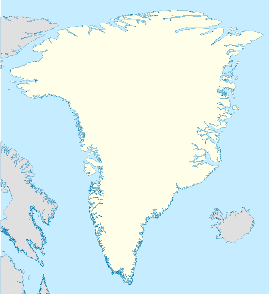
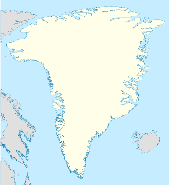
Deutsch: Positionskarte von Grönland
Quadratische Plattkarte, N-S-Streckung 280 %. Geographische Begrenzung der Karte:
English: Location map of Greenland
Equirectangular projection, N/S stretching 280 %. Geographic limits of the map:
|
| Tælmearc | |
| Fruma | own work, using United States National Imagery and Mapping Agency data |
| Dædfruma | NordNordWest |

|
This map has been made or improved in the German Kartenwerkstatt (Map Lab). You can propose maps to improve as well.
|
Leaf:
I, the copyright holder of this work, hereby publish it under the following licenses:

|
Permission is granted to copy, distribute and/or modify this document under the terms of the GNU Free Documentation License, Version 1.2 or any later version published by the Free Software Foundation; with no Invariant Sections, no Front-Cover Texts, and no Back-Cover Texts. A copy of the license is included in the section entitled GNU Free Documentation License. |
This file is licensed under the Creative Commons Attribution-Share Alike 3.0 Unported license.
- Þu most:
- bryttian – to copy, distribute and transmit the work
- to remix – andwendan þæt weorc
- Under the following conditions:
- hlígung – You must give appropriate credit, provide a link to the license, and indicate if changes were made. You may do so in any reasonable manner, but not in any way that suggests the licensor endorses you or your use.
- Efenlice bryttiendlic – Gif þu andwende þis weorc to ohte, þu scleat bryttian þæt andwendede weorc synderlice mid þære ilcan oþþe gelicre leafe swilcre þis brycþ.
Þu most ceosan leafe
Ymelan stær
Swing dæg/tide mid mys to seonne þa ymelan swa heo wæs on þære tide geywed.
| Dæg/Tid | Metungincel | Micelnesse gemetu | Brucend | Ymbspræc | |
|---|---|---|---|---|---|
| nu | 11:07, 30 Gēolmōnaþ 2008 | | 2,054 × 2,250 (1.57 MB) | NordNordWest | |
| 19:53, 25 Haligmonað 2008 |  | 2,054 × 2,250 (1.39 MB) | NordNordWest | {{Information |Description= {{de|Positionskarte von Grönland}} Quadratische Plattkarte, N-S-Streckung 280 %. Geographische Begrenzung der Karte: * N: 84.5° N * S: 59.0° N * W: 75.0° W * O: 10.0° W {{en|Location map of [[:en:Greenlan |
Biliþbendas
Þā folgendan trametas bindaþ tō þissum biliðe:
Ymelan eormen nytt
Þas wiki brucaþ þissa ymelena:
- Nytt on af.wikipedia.org
- Nytt on ar.wikipedia.org
- Nytt on bn.wikipedia.org
- Nytt on da.wikipedia.org
- Nytt on de.wikipedia.org
- Nytt on en.wiktionary.org
- Nytt on fr.wikipedia.org
- Nytt on he.wikivoyage.org
- Nytt on ia.wikipedia.org
- Nytt on ms.wikipedia.org
- Nytt on nn.wikipedia.org
- Nytt on pt.wikipedia.org
- Nytt on ro.wikipedia.org
- Nytt on sah.wikipedia.org
- Nytt on sh.wikipedia.org
- Nytt on sr.wikipedia.org
- Nytt on sv.wikipedia.org
View more global usage of this file.