
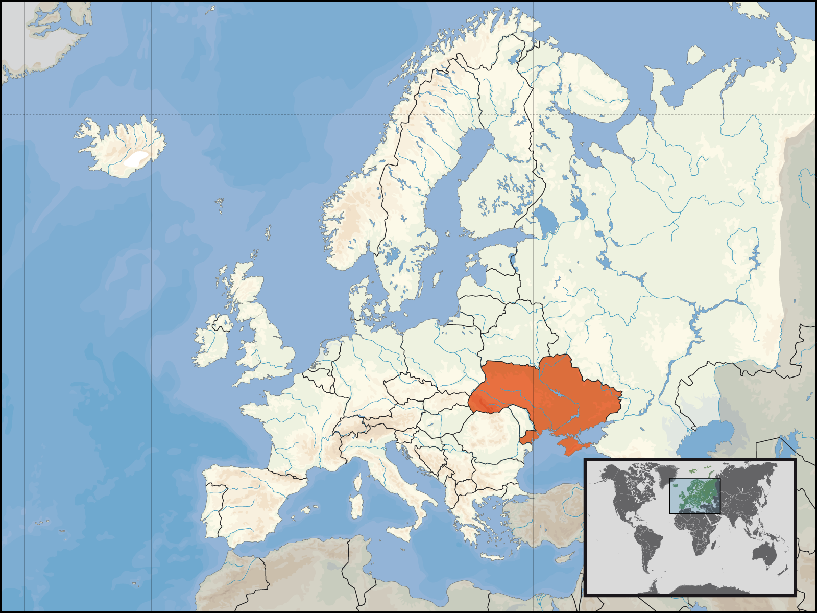
Ymele:Europe location UKR.png
Micelness þisre forebysene: 800 be 600 dotta. Oðra metinga brædo: 320 be 240 dotta | 640 be 480 dotta | 1,024 be 768 dotta | 1,280 be 960 dotta | 1,600 be 1,200 dotta.
Frumlicu ymele (1,600 × 1,200 pixela, ymelan micelness: 473 KB, MIME cynn: image/png)

|
This locator map image could be re-created using vector graphics as an SVG file. This has several advantages; see Commons:Media for cleanup for more information. If an SVG form of this image is available, please upload it and afterwards replace this template with
{{vector version available|new image name}}.
It is recommended to name the SVG file “Europe location UKR.svg”—then the template Vector version available (or Vva) does not need the new image name parameter. |
| Towritenness | ||||
| Tælmearc | ||||
| Fruma | Agen weorc | |||
| Dædfruma | User:David Liuzzo | |||
| Leaf (Eftnytt þisse ymelan) |
|

Ymelan stær
Swing dæg/tide mid mys to seonne þa ymelan swa heo wæs on þære tide geywed.
| Dæg/Tid | Metungincel | Micelnesse gemetu | Brucend | Ymbspræc | |
|---|---|---|---|---|---|
| nu | 20:55, 16 Gēolmōnaþ 2008 | | 1,600 × 1,200 (473 KB) | Luinfana | Lossless compression with PNGOUT, AdvanceCOMP, and DeflOpt |
| 14:41, 1 Se Æfterra Gēola 2007 |  | 1,600 × 1,200 (713 KB) | David Liuzzo | {{Europe location| |Staat=der Ukraine |State=Ukraine |Date=01.01.2007 }} | |
| 12:33, 30 Haligmonað 2006 |  | 1,600 × 1,200 (112 KB) | David Liuzzo | {{Information| |Description={{de|Lage der Republik Ukraine in Europa<BR>Stand: September 2006}} |Source= Own Work |Date= 30.09.2006 |Author= David Liuzzo |Permission={{self2|GFDL|Cc-by-sa-2.0-de}} |other_versions= }} [[Category:Maps |
Biliþbendas
Þǣr sind nāne trametas þe bindaþ tō þissum biliðe.
Ymelan eormen nytt
Þas wiki brucaþ þissa ymelena:
- Nytt on ar.wikipedia.org
- Nytt on bat-smg.wikipedia.org
- Nytt on de.wiktionary.org
- Nytt on en.wikipedia.org
- Nytt on fr.wikinews.org
- Nytt on incubator.wikimedia.org
- Nytt on kv.wikipedia.org
- Nytt on mg.wikipedia.org
- Nytt on ml.wikipedia.org
- Nytt on ms.wikipedia.org
- Nytt on mwl.wikipedia.org
- Nytt on nl.wikipedia.org
- Nytt on nl.wikibooks.org
- Nytt on nn.wikipedia.org
- Nytt on no.wikipedia.org
- Nytt on no.wiktionary.org
- Nytt on pl.wikipedia.org
- Nytt on pl.wikinews.org
- Nytt on pl.wikiquote.org
- Nytt on pl.wiktionary.org
- Nytt on pms.wikipedia.org
- Nytt on ps.wikipedia.org
- Nytt on pt.wikipedia.org
- Nytt on pt.wiktionary.org
View more global usage of this file.