
Ymele:West Midlands UK locator map 2010.svg

Size of this PNG preview of this SVG file: 494 be 600 dotta. Oðra metinga brædo: 198 be 240 dotta | 395 be 480 dotta | 633 be 768 dotta | 843 be 1,024 dotta | 1,687 be 2,048 dotta | 1,108 be 1,345 dotta.
Frumlicu ymele (SVG ymele, rihte 1,108 × 1,345 pixela, ymelan micelness: 302 KB)
Scortness
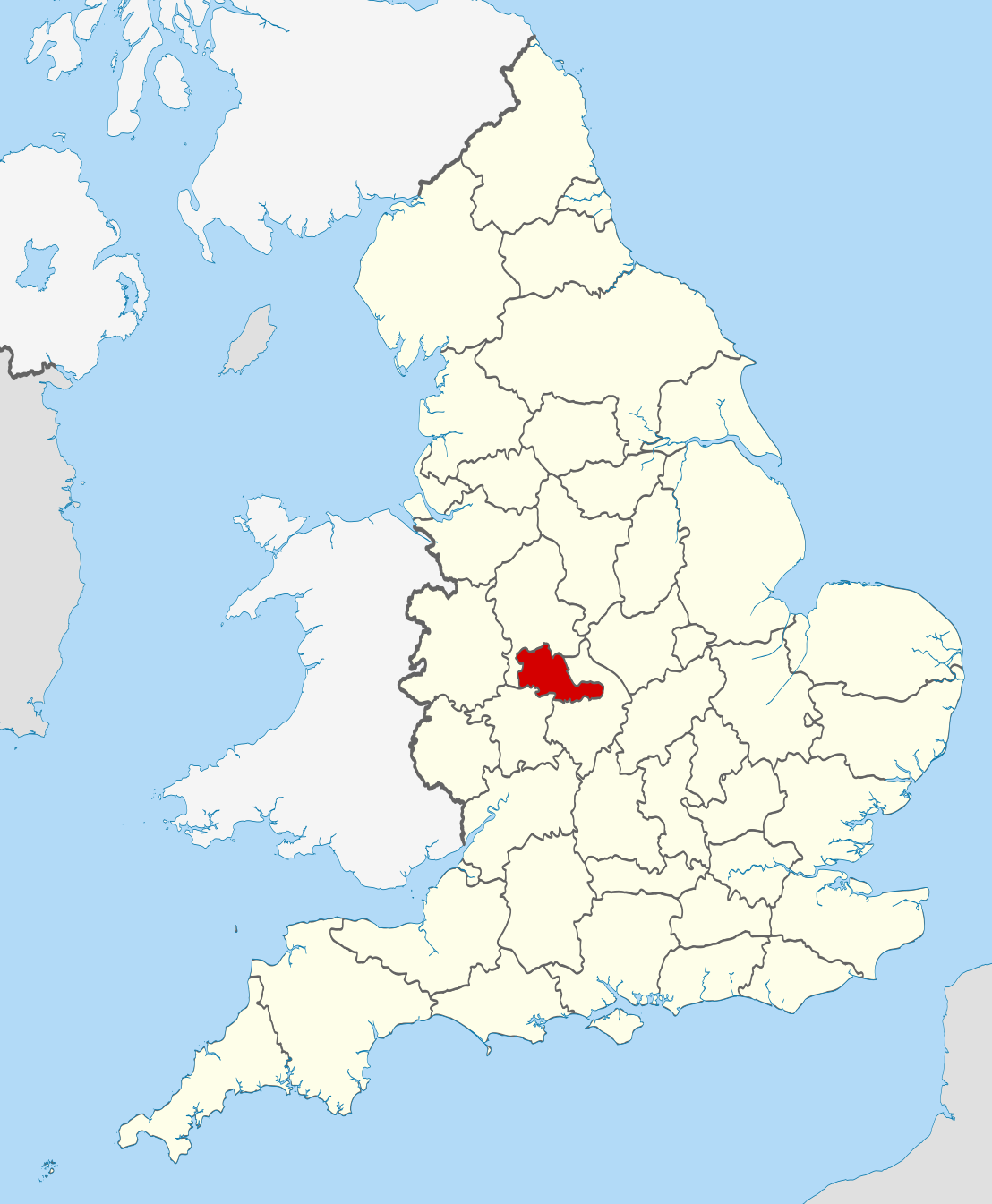
| Towritenness | Location of the ceremonial county of the West Midlands within England. |
| Tælmearc | |
| Fruma |
National Geospatial-Intelligence Agency
|
| Dædfruma | Nilfanion |
Leaf:
I, the copyright holder of this work, hereby publish it under the following licenses:
This file is licensed under the Creative Commons Attribution-Share Alike 3.0 Unported license.
- Þu most:
- bryttian – to copy, distribute and transmit the work
- to remix – andwendan þæt weorc
- Under the following conditions:
- hlígung – You must give appropriate credit, provide a link to the license, and indicate if changes were made. You may do so in any reasonable manner, but not in any way that suggests the licensor endorses you or your use.
- Efenlice bryttiendlic – Gif þu andwende þis weorc to ohte, þu scleat bryttian þæt andwendede weorc synderlice mid þære ilcan oþþe gelicre leafe swilcre þis brycþ.

|
Permission is granted to copy, distribute and/or modify this document under the terms of the GNU Free Documentation License, Version 1.2 or any later version published by the Free Software Foundation; with no Invariant Sections, no Front-Cover Texts, and no Back-Cover Texts. A copy of the license is included in the section entitled GNU Free Documentation License. |
Þu most ceosan leafe

|
This is one of the images forming part of the Valued image set: Locator maps of the Ceremonial counties of England on Wikimedia Commons. The image set has been assessed under the valued image set criteria and is considered the most valued set on Commons within the scope:
Locator maps of the Ceremonial counties of England
You can see its nomination at Commons:Valued image candidates/Locator maps of English ceremonial counties. |
Ymelan stær
Swing dæg/tide mid mys to seonne þa ymelan swa heo wæs on þære tide geywed.
| Dæg/Tid | Metungincel | Micelnesse gemetu | Brucend | Ymbspræc | |
|---|---|---|---|---|---|
| nu | 22:46, 23 Blotmonað 2010 | | 1,108 × 1,345 (302 KB) | Nilfanion | == Summary == {{Information |Description=Location of the ceremonial county of the West Midlands within England. |Source=Ordnance Survey [https://www.ordnancesurvey.co.uk/opendatadownload/products.html OpenData]: * |
Biliþbendas
Þā folgendan trametas bindaþ tō þissum biliðe:
Ymelan eormen nytt
Þas wiki brucaþ þissa ymelena:
- Nytt on af.wikipedia.org
- Nytt on ar.wikipedia.org
- Nytt on ast.wikipedia.org
- Nytt on be-tarask.wikipedia.org
- Nytt on br.wikipedia.org
- Nytt on ca.wikipedia.org
- Nytt on ceb.wikipedia.org
- Nytt on cs.wikipedia.org
- Nytt on dag.wikipedia.org
- Nytt on da.wikipedia.org
- Nytt on en.wikipedia.org
- West Midlands (county)
- West Midlands Metro
- Harborne Reserve
- Tyseley
- Transport in Birmingham
- Hodge Hill
- Sparkbrook and Small Heath
- Chamberlain Square
- West Midlands Bus route 11
- New Frankley
- Beacon Way
- Old Oscott
- Tower Hill, West Midlands
- Hill Hook
- Whitehouse Common
- Birchfield, Birmingham
- Buckland End
- Gravelly Hill
- Hawkesley
- New Oscott
- Perry Common
- Short Heath, Birmingham
- Stockland Green
- Wightwick
- Westside, Birmingham
- Transport for West Midlands
- Brandhall
- Aldridge-Brownhills Urban District
- Hockley, West Midlands
- New Hall Manor Estate
- Hawbush
- Blakenall Heath
- Merry Hill Shopping Centre
- Witton Lakes
- Brookvale Park Lake
- Olton Reservoir
- Lozells
- Winson Green
View more global usage of this file.