
Ymele:Fridaythorpe - geograph.org.uk - 120149.jpg
Nænig mare micelness nis brucendlicu.
Fridaythorpe_-_geograph.org.uk_-_120149.jpg (640 × 480 pixela, ymelan micelness: 116 KB, MIME cynn: image/jpeg)
Scortness
| Towritenness |
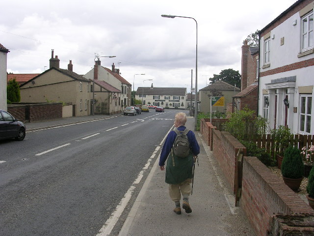
English: Fridaythorpe, East Riding of Yorkshire, England. The main A166 road through Fridaythorpe. Its position on a main road means that Fridaythorpe is one of the few villages in the Yorkshire Wolds which is not lost in a timewarp. On the Wolds Way. |
| Tælmearc | |
| Fruma | From geograph.org.uk |
| Dædfruma | Oliver Dixon |
| Leaf (Eftnytt þisse ymelan) |
Creative Commons Attribution Share-alike license 2.0 |
| Hligung (required by the license) | Oliver Dixon / Fridaythorpe / |
| Camera location | | View this and other nearby images on: OpenStreetMap |
|---|
_&language=ang)
| Object location | | View this and other nearby images on: OpenStreetMap |
|---|
_&language=ang)
Leaf:

|
This image was taken from the Geograph project collection. See this photograph's page on the Geograph website for the photographer's contact details. The copyright on this image is owned by Oliver Dixon and is licensed for reuse under the Creative Commons Attribution-ShareAlike 2.0 license.
|
This file is licensed under the Creative Commons Attribution-Share Alike 2.0 Generic license.
Hligung: Oliver Dixon
- Þu most:
- bryttian – to copy, distribute and transmit the work
- to remix – andwendan þæt weorc
- Under the following conditions:
- hlígung – You must give appropriate credit, provide a link to the license, and indicate if changes were made. You may do so in any reasonable manner, but not in any way that suggests the licensor endorses you or your use.
- Efenlice bryttiendlic – Gif þu andwende þis weorc to ohte, þu scleat bryttian þæt andwendede weorc synderlice mid þære ilcan oþþe gelicre leafe swilcre þis brycþ.
Ymelan stær
Swing dæg/tide mid mys to seonne þa ymelan swa heo wæs on þære tide geywed.
| Dæg/Tid | Metungincel | Micelnesse gemetu | Brucend | Ymbspræc | |
|---|---|---|---|---|---|
| nu | 03:07, 31 Se Æfterra Gēola 2010 | | 640 × 480 (116 KB) | GeographBot | == {{int:filedesc}} == {{Information |description={{en|1=Fridaythorpe. The main A166 road through Fridaythorpe. Its position on a main road means that Fridaythorpe is one of the few villages in the Yorkshire Wolds which is not lost in a timewarp. On the W |
Biliþbendas
Þā folgendan trametas bindaþ tō þissum biliðe:
Ymelan eormen nytt
Þas wiki brucaþ þissa ymelena:
- Nytt on ceb.wikipedia.org
- Nytt on en.wikipedia.org
- Nytt on lld.wikipedia.org
- Nytt on www.wikidata.org