
Ymele:Contorno do mapa do Brasil.svg

Size of this PNG preview of this SVG file: 345 be 345 dotta. Oðra metinga brædo: 240 be 240 dotta | 480 be 480 dotta | 768 be 768 dotta | 1,024 be 1,024 dotta | 2,048 be 2,048 dotta.
Frumlicu ymele (SVG ymele, rihte 345 × 345 pixela, ymelan micelness: 8 KB)
Scortness
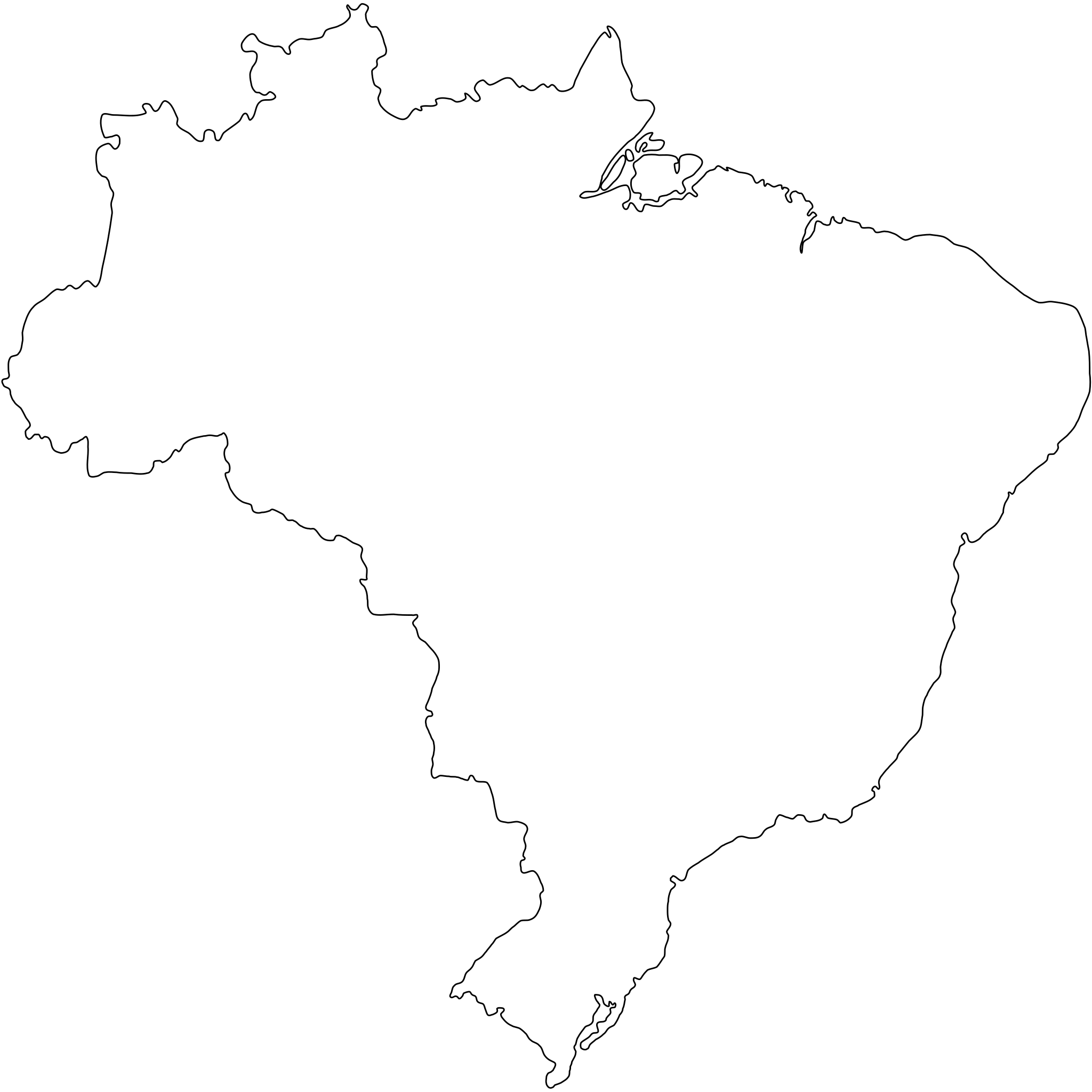
Português: Contorno do mapa do Brasil com detalhamento de nível médio e suavizado, não oficial e não exato porque foi desenhado por mim a olho nu. Inicialmente foi especialmente desenhado para a bandeira do Estado de São Paulo (ver Image:Bandeira do estado de São Paulo.svg).
A map drawn (maybe with CorelDRAW!® or Inkscape) by FML.
|

|
I, the copyright holder of this work, hereby publish it under the following license:
This file is licensed under the Creative Commons Attribution-Share Alike 2.5 Generic license.
- Þu most:
- bryttian – to copy, distribute and transmit the work
- to remix – andwendan þæt weorc
- Under the following conditions:
- hlígung – You must give appropriate credit, provide a link to the license, and indicate if changes were made. You may do so in any reasonable manner, but not in any way that suggests the licensor endorses you or your use.
- Efenlice bryttiendlic – Gif þu andwende þis weorc to ohte, þu scleat bryttian þæt andwendede weorc synderlice mid þære ilcan oþþe gelicre leafe swilcre þis brycþ.
Ymelan stær
Swing dæg/tide mid mys to seonne þa ymelan swa heo wæs on þære tide geywed.
| Dæg/Tid | Metungincel | Micelnesse gemetu | Brucend | Ymbspræc | |
|---|---|---|---|---|---|
| nu | 18:30, 18 Haligmonað 2011 | | 345 × 345 (8 KB) | Giro720 | Map concentric to an (imaginary) circle with r=755 centered at the origin. |
| 07:56, 10 Weodmonað 2011 |  | 347 × 345 (8 KB) | OAlexander~commonswiki | Better optimisation, eliminated minor error on right edge. (Upped wrong version previously) | |
| 07:52, 10 Weodmonað 2011 |  | 512 × 510 (20 KB) | OAlexander~commonswiki | Better optimisation, eliminated minor error on right edge. | |
| 07:48, 10 Weodmonað 2011 |  | 512 × 510 (20 KB) | OAlexander~commonswiki | Repair (did not display in Firefox and Safari) and optimization. | |
| 11:26, 20 Solmonaþ 2006 |  | 526 × 524 (82 KB) | FML | ||
| 01:41, 30 Se Æfterra Gēola 2006 |  | 526 × 524 (82 KB) | FML | ||
| 01:33, 30 Se Æfterra Gēola 2006 |  | 526 × 524 (143 KB) | FML | {{pt|Contorno do mapa do Brasil com detalhamento de nível médio e suavizado, '''não oficial''' e '''não exato''' porque foi desenhado por mim a olho nu. Inicialmente foi especialmente desenhado para a bandeira do Estado de São Paulo (ver [ |
Biliþbendas
Þǣr sind nāne trametas þe bindaþ tō þissum biliðe.
Ymelan eormen nytt
Þas wiki brucaþ þissa ymelena:
- Nytt on pt.wikipedia.org