
Ymele:Australia states blank.png
Micelness þisre forebysene: 641 be 599 dotta. Oðra metinga brædo: 257 be 240 dotta | 513 be 480 dotta | 821 be 768 dotta | 1,095 be 1,024 dotta | 2,000 be 1,870 dotta.
Frumlicu ymele (2,000 × 1,870 pixela, ymelan micelness: 19 KB, MIME cynn: image/png)
Scortness
| Towritenness |
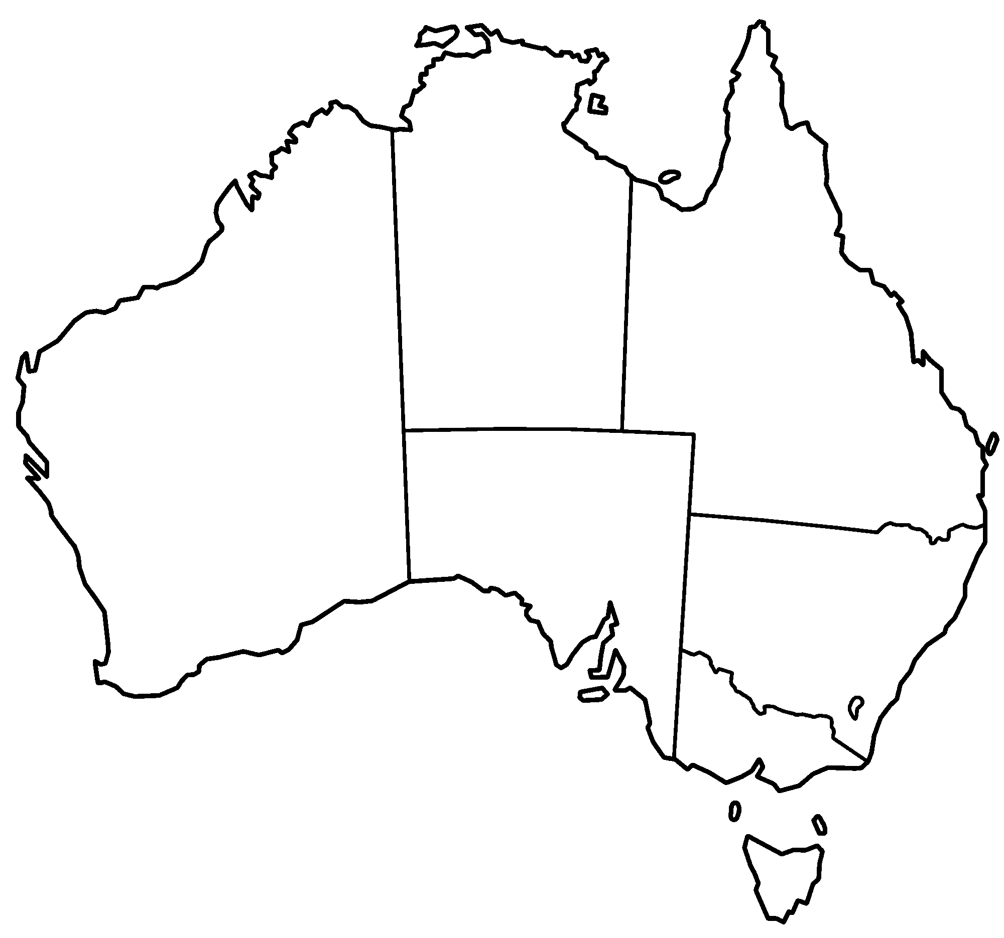
English: Blank map of the territory governed by the states of Australia. |
| Fruma | Made by uploader |
| Dædfruma | Made by User:Golbez |
| Other versions |
Derivative works of this file: |

|
This locator map image could be re-created using vector graphics as an SVG file. This has several advantages; see Commons:Media for cleanup for more information. If an SVG form of this image is available, please upload it and afterwards replace this template with
{{vector version available|new image name}}.
It is recommended to name the SVG file “Australia states blank.svg”—then the template Vector version available (or Vva) does not need the new image name parameter. |
Leaf:
I, the copyright holder of this work, hereby publish it under the following licenses:

|
Permission is granted to copy, distribute and/or modify this document under the terms of the GNU Free Documentation License, Version 1.2 or any later version published by the Free Software Foundation; with no Invariant Sections, no Front-Cover Texts, and no Back-Cover Texts. A copy of the license is included in the section entitled GNU Free Documentation License. |
| This file is licensed under the Creative Commons Attribution-Share Alike 3.0 Unported license. | ||
| ||
| This licensing tag was added to this file as part of the GFDL licensing update. |
This file is licensed under the Creative Commons Attribution 2.5 Generic license.
- Þu most:
- bryttian – to copy, distribute and transmit the work
- to remix – andwendan þæt weorc
- Under the following conditions:
- hlígung – You must give appropriate credit, provide a link to the license, and indicate if changes were made. You may do so in any reasonable manner, but not in any way that suggests the licensor endorses you or your use.
Þu most ceosan leafe
Ymelan stær
Swing dæg/tide mid mys to seonne þa ymelan swa heo wæs on þære tide geywed.
| Dæg/Tid | Metungincel | Micelnesse gemetu | Brucend | Ymbspræc | |
|---|---|---|---|---|---|
| nu | 02:20, 3 Se Æfterra Gēola 2006 | | 2,000 × 1,870 (19 KB) | Golbez | Blank map of the states of Australia. Made by User:Golbez. Category:Maps of Australia |
Biliþbendas
Þǣr sind nāne trametas þe bindaþ tō þissum biliðe.