
Ymele:Map of USA KS.svg

Size of this PNG preview of this SVG file: 286 be 186 dotta. Oðra metinga brædo: 320 be 208 dotta | 640 be 416 dotta | 1,024 be 666 dotta | 1,280 be 832 dotta | 2,560 be 1,665 dotta.
Frumlicu ymele (SVG ymele, rihte 286 × 186 pixela, ymelan micelness: 167 KB)
Clickable version
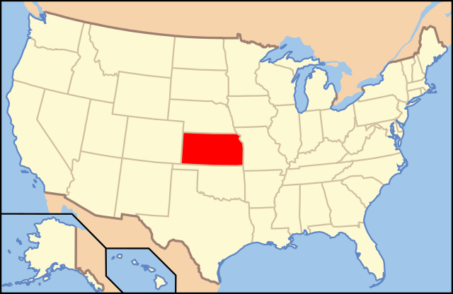
| Towritenness | Map of USA with Kansas highlighted | ||||||||
| Tælmearc | see file history below. | ||||||||
| Fruma | own work by uploader, based on Image:Map of USA without state names.svg | ||||||||
| Dædfruma |
This version: uploader Base versions this one is derived from: originally created by en:User:Wapcaplet |
||||||||
| Leaf (Eftnytt þisse ymelan) |
This file is licensed under the Creative Commons Attribution 2.0 Generic license.
|
||||||||
| Other versions | image:Map of USA with state names.svg |

Ymelan stær
Swing dæg/tide mid mys to seonne þa ymelan swa heo wæs on þære tide geywed.
| Dæg/Tid | Metungincel | Micelnesse gemetu | Brucend | Ymbspræc | |
|---|---|---|---|---|---|
| nu | 17:53, 31 Weodmonað 2012 | | 286 × 186 (167 KB) | Homoatrox | the map is used for Kansas, not Iowa |
| 19:49, 30 Weodmonað 2012 |  | 1,181 × 731 (3.46 MB) | Nixarx | I change the map because in the other map the state which is indicate is Kansas, not Iowa. The article treats about Council Bluffs (Iowa). | |
| 19:49, 30 Weodmonað 2012 |  | 1,181 × 731 (3.46 MB) | Nixarx | I change the map because in the other map the state which is indicates is Kansas, not Iowa. The article treats about Council Bluffs (Iowa). | |
| 06:36, 9 Sēremōnaþ 2006 |  | 286 × 186 (167 KB) | Huebi~commonswiki | {{Information| |Description=Map of USA with Kansas highlighted |other_versions=image:Map of USA with state names.svg }} Category:Maps of the United States Category:Maps of Kansas Category:SVG maps {{GFDL-en}}{{cc-by-2.0}}{{cc-by-sa-1.0} |
Biliþbendas
Þā folgendan trametas bindaþ tō þissum biliðe:
Ymelan eormen nytt
Þas wiki brucaþ þissa ymelena:
- Nytt on af.wikipedia.org
- Nytt on an.wikipedia.org
- Nytt on arc.wikipedia.org
- Nytt on ay.wikipedia.org
- Nytt on az.wiktionary.org
- Nytt on ba.wikipedia.org
- Nytt on bcl.wikipedia.org
- Nytt on bg.wikipedia.org
- Чейс (окръг, Канзас)
- Чотокуа (окръг, Канзас)
- Чероки (окръг, Канзас)
- Шайен (окръг, Канзас)
- Кларк (окръг, Канзас)
- Клей (окръг, Канзас)
- Клауд (окръг, Канзас)
- Кофи (окръг, Канзас)
- Команчи (окръг, Канзас)
- Каули (окръг, Канзас)
- Крофорд (окръг, Канзас)
- Дикейтър (окръг, Канзас)
- Дикинсън (окръг, Канзас)
- Донифан (окръг, Канзас)
- Дъглас (окръг, Канзас)
- Едуардс (окръг, Канзас)
- Елк (окръг, Канзас)
- Елис (окръг, Канзас)
- Елсуърт (окръг, Канзас)
- Фини (окръг, Канзас)
- Форд (окръг, Канзас)
- Франклин (окръг, Канзас)
- Греъм (окръг, Канзас)
- Грант (окръг, Канзас)
- Грей (окръг, Канзас)
- Грийли (окръг, Канзас)
- Грийнуд (окръг, Канзас)
- Хамилтън (окръг, Канзас)
- Харпър (окръг, Канзас)
- Харви (окръг, Канзас)
- Ходжмън (окръг, Канзас)
- Джаксън (окръг, Канзас)
- Джеферсън (окръг, Канзас)
- Джонсън (окръг, Канзас)
- Кърни (окръг, Канзас)
- Кингмън (окръг, Канзас)
- Кайоуа (окръг, Канзас)
- Лабет (окръг, Канзас)
- Лейн (окръг, Канзас)
- Левънуърт (окръг, Канзас)
- Линкълн (окръг, Канзас)
View more global usage of this file.